 vesseltracker.com
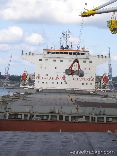
Vessel 352986195 IMO: 9225201, MMSI: 352986195
UTC, 13.84960, 111.07722, course: 147, speed: 12.3
UTC, 13.40162, 111.35180, course: 148, speed: 12.4
2026-01-30 18:07:57 UTC, 13.40162, 111.35180, course: 148, speed: 12.4
Live AIS position:
UTC. 91 nm E of Tan Cang Qui Nhon),
updated 2026-01-30 18:07:57 UTC.
Find the position of the vessel 352986195 on the map. The latter are known coordinates and path.
marine traffic ship tracker show on live map
The current position of vessel 352986195 is 13.40162 lat / 111.35180 lng. Updated: 2026-01-30 18:07:57 UTCDetails:
Last coordinates of the vessel:
UTC, 13.84960, 111.07722, course: 147, speed: 12.3UTC, 13.84960, 111.07722, course: 147, speed: 12.3
UTC, 13.40162, 111.35180, course: 148, speed: 12.4
2026-01-30 18:07:57 UTC, 13.40162, 111.35180, course: 148, speed: 12.4